0 SOUTH ORLEANS ROAD REAR
Owner Information
GROVER DOUGLAS A & RUTH A
P O BOX 240
S ORLEANS, MA 02662


Property Details
0 SOUTH ORLEANS ROAD REAR is classified as a Mixed Use (Primarily Commercial, some Forest).
0 SOUTH ORLEANS ROAD REAR is valued at $104,970. The land is valued at $63,970 and the structures are valued at $0. There is an additional valuation of $41,000 on this property.
This property is in Zone RR. Confirm with local Zoning Board authorities to ensure there are no overlays or other easements on this property.
The most recent deed for 0 SOUTH ORLEANS ROAD REAR is recorded at the local registrar in Book 20617, Page 241. 0 SOUTH ORLEANS ROAD REAR was last sold on Thursday, December 29, 2005 for $0.
Assessment data from fiscal year 2022.
Flood Data
According to the FEMA National Flood Hazard Layer, this property does not appear to be in a flood zone. It may also be in an area not yet reviewed. Nonetheless, confirm this information prior to taking any action.
To view the flood hazards around this property, create a FEMA "Firmette" Map of the area around 0 SOUTH ORLEANS ROAD REAR.
Broadband Internet Providers
| Provider | Type | Bandwidth (mbps) | |
|---|---|---|---|
| Viasat Inc | Satellite | 35 | 3 |
| Verizon New England Inc. | DSL | 10 | 1 |
| Comcast | Cable | 1000 | 35 |
| GCI Communication Corp. | Satellite | 0 | 0 |
| T-Mobile | Fixed Wireless | 25 | 3 |
| VSAT Systems, LLC. | Satellite | 2 | 1 |
| HughesNet | Satellite | 25 | 3 |
Broadband service provider data from December 2020.
Adjacent Properties
- 0 MID CAPE HIGHWAY
All land designated under Chapter 61 (not classified as Open Space) owned by GROVER DOUGLAS A & RUTH A TR - 0 MID CAPE HIGHWAY
All land designated under Chapter 61 (not classified as Open Space) owned by GROVER DOUGLAS A & RUTH A - 0 ROUTE 39 REAR
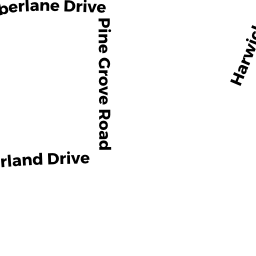
Vacant, Conservation (Municipal or County) owned by BREWSTER TOWN OF - 87 TIMBERLANE DRIVE
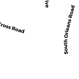
Single Family Residential owned by JENKINS DAVID S & HEIDI E - 469 SOUTH ORLEANS ROAD
Developable Residential Land owned by JENKINS PAUL E JR TRUSTEE - 441 SOUTH ORLEANS ROAD
Single Family Residential owned by GROVER DOUGLAS A - 85 TIMBERLANE DRIVE
Single Family Residential owned by SMITH ELIZABETH A TRUSTEE & - 383 SOUTH ORLEANS ROAD
Nursing Homes - includes property designed for minimal care with or without medical facilities owned by 383 SOUTH ORLEANS LLC - 421 SOUTH ORLEANS ROAD
Single Family Residential owned by HARRINGTON JENNIFER L - 0 SOUTH ORLEANS ROAD
Developable Residential Land owned by GROVER DOUGLAS A & RUTH A TRUSTEES